
Google Maps Explained Simply — More Than Just Directions
Google Maps can show you what a street actually looks like, find nearby shops, and predict traffic before you even leave. Here's how, in plain words.
🌐 Translate this article:
⚡ Powered by Google Translate · Original content preserved
Everyone uses Google Maps to get somewhere. Fewer people know just how much it can do before you even start driving.
What It Actually Does
Beyond turn-by-turn directions, Maps watches live traffic and adjusts your route on the fly if a road ahead is jammed. You can also drop into Street View and actually look around a place before you arrive — handy for finding a hidden entrance or checking if a street looks safe to park on at night.
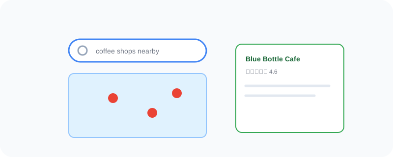
What You Can Actually Do With It
- Get directions by car, public transit, bike, or on foot, with live traffic built in
- Use Street View to see a location before you get there
- Search for nearby places and see real reviews, hours, and photos
- Download an area for offline use before you lose signal
- Share your live location with someone so they can see you on the map in real time
Who Is This For?
Honestly, anyone who has ever needed to get somewhere unfamiliar. Commuters checking live traffic before leaving the house. Travelers scoping out a neighborhood before booking a hotel nearby.
How to Start Using It
- Go to maps.google.com, or open the app on your phone
- Type in where you want to go
- Tap a route to see traffic and choose the fastest option
- Drag the little yellow figure onto the map to drop into Street View
A Simple Way to Think About It
Think of it as a friend who's already driven every road, checked the traffic, and looked around the destination — before you've even left your driveway.
Want to see more Google tools for getting around? Browse the full Google Universe directory, or read our simple guide to Google Earth next.
📣 Share this article