
Google Earth Explained Simply — The Whole Planet, From Your Browser
Google Earth lets you fly anywhere on the planet and even see how a place looked years ago. Here's what it actually does, in plain words.
🌐 Translate this article:
⚡ Powered by Google Translate · Original content preserved
Google Maps gets you from A to B. Google Earth is for something different — just exploring the planet for the sake of it, from your own screen.
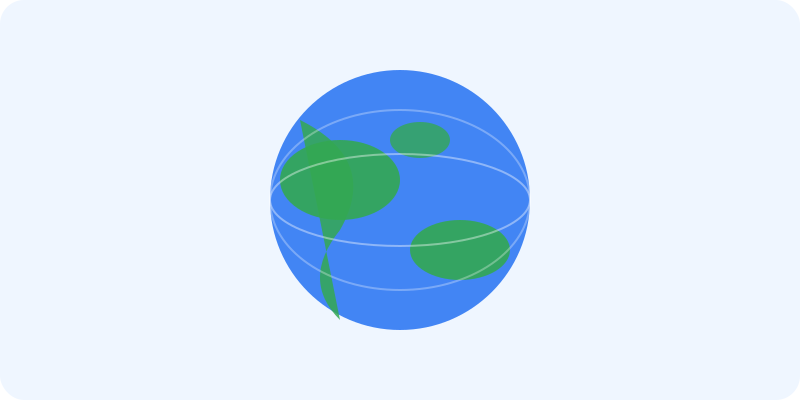
What It Actually Does
Earth renders the entire planet as a spinnable 3D globe, built from satellite photos. You can zoom from looking at the whole Earth all the way down to street level in many cities, with actual 3D buildings you can look at from any angle. One of its most interesting features lets you slide back in time and see satellite images of a location from years or even decades ago, so you can watch how a city or coastline has changed.
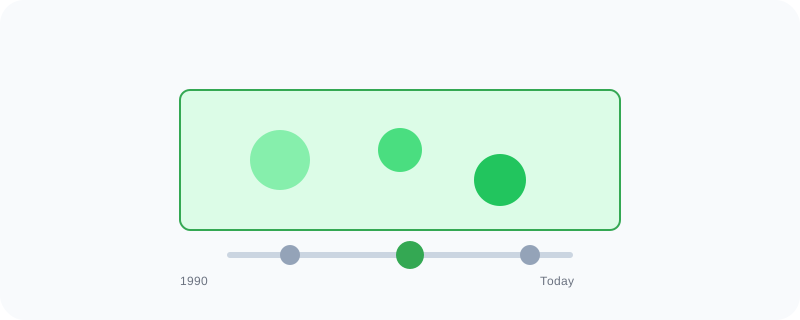
What You Can Actually Do With It
- Spin and zoom into a 3D view of anywhere on the planet
- Slide back through time to see older satellite images of a location
- Take a guided tour through curated points of interest around the world
- See 3D buildings and terrain in major cities
- Measure distances between two points anywhere on the map
Who Is This For?
Anyone curious about a place they've never visited. Students learning geography. People planning a trip who want to "see" the destination before booking anything. It's less of a daily tool and more of a "let's see what this looks like" tool.
How to Start Using It
- Go to earth.google.com
- Type in a place name to fly there instantly
- Drag to rotate the globe, or scroll to zoom in
- Try the "Voyager" tab for guided tours of interesting places
A Simple Way to Think About It
Think of it as a globe on your desk that you can spin, zoom into any street, and even rewind through time — all without leaving your chair.
Want to see more Google tools for exploring the world? Browse the full Google Universe directory, or read our simple guide to Google Maps next.
📣 Share this article